
Brighton ZIP Codes by Postal Area
Five delivery areas are documented in Brighton town material: 14610, 14618, 14620, 14623, and 14625. They describe postal geography, not five separate municipal districts. The Town of Brighton sits in Monroe County beside Rochester and other suburbs, so an address can carry a Rochester postal city while its situs, the physical parcel location, remains in Brighton. The table uses the town survey, assessment-roll examples, and town documents to state only the area relationships those sources support. The exact serving post-office facility for a particular address was not identified in the research and should be checked with USPS.
| ZIP | Areas Covered | Post Office | Notes |
|---|---|---|---|
| 14610 | Eastern and northeastern Brighton, including Brookwood and Dorking roll examples | Rochester postal city; exact facility must be verified | Crosses the town and city distinction. |
| 14618 | Central, northern, and western bulk of Brighton, including the Elmwood mailing and situs area | Rochester postal city; exact facility must be verified | Largest Brighton share in the 2025 survey. |
| 14620 | Southern Brighton and the Westfall corridor, including temporary town offices | Rochester postal city; exact facility must be verified | May include addresses beyond the town. |
| 14623 | Southern and western Brighton, the East Henrietta Road corridor, and nearby MCC/Brighton campus area | Rochester postal city; exact facility must be verified | Also extends into Henrietta and other jurisdictions. |
| 14625 | Northeastern and eastern Brighton edge with adjacent Penfield, Pittsford, and Perinton areas | Rochester-area postal service; exact facility must be verified | Appears in Brighton assessment-roll addresses. |
None of these entries establishes a street-by-street boundary. The USPS address lookup is the right check for the mailing assignment of one complete address. The county parcel map adds a different fact: which municipality and parcel are involved. Keeping those questions apart is especially useful along Brighton's eastern and southern edges.
Brighton ZIP Survey Numbers
The Town's 2025 local survey and agenda chart records 14618 at 73.8% of its ZIP distribution. It lists 14610 at 9.0%, 14620 at 8.1%, 14623 at 3.2%, 14625 at 2.3%, and Other at 3.6%. Those figures are useful for seeing the strong 14618 concentration, but they are not census population totals, a complete parcel count, or a municipal boundary measurement. A smaller postal share can still matter when a search concerns a southern corridor, an eastern edge parcel, or a historical address.
Note: The survey percentages describe respondents or addresses recorded in that town document, rather than every person or every delivery point in Brighton.
Finding Brighton Residents by ZIP Code
A ZIP filter can narrow a search, but it cannot by itself identify everyone at an address. Monroe County's property records can show an owner-of-record, property situs, mailing address, parcel information, and assessment fields. The GIS viewer adds municipal and boundary context. Election tools are narrower still: they confirm information for a matched registered voter rather than publishing an unrestricted street or postal-area roster. Use the workflow below to move from a postal clue to the correct public record without treating a parcel owner or voter match as proof of all occupants.
- Enter the full address in the USPS lookup and keep the returned mailing assignment with the address.
- Search Monroe County Real Property by ZIP when that portal mode exposes the filter, then add Brighton or the municipality and parcel context. Record the result as owner-of-record or situs information.
- Open the Monroe County Parcel Viewer, turn on the ZIP and town or village layers, and identify the parcel. Compare its municipality, SBL, and property link before relying on the postal result.
- For a known person, use the Monroe voter form only with its required matching details. A broader voter-file request requires the election-purpose statement required by New York Election Law § 3-103(5).
The USPS ZIP Code Lookup is the address-specific starting point shown below.
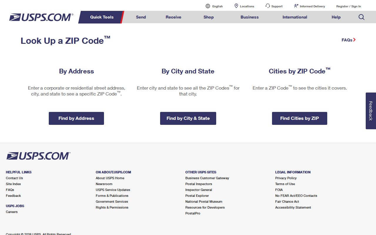
Its result verifies delivery addressing, then the Monroe County tools establish the parcel and municipal context. Once a postal area is narrowed to a street, the Brighton street directory has the address-by-address record sequence.
Brighton ZIP Property Search Fields
The Brighton Assessor directs online property work to Monroe County Real Property, while the local final roll remains a practical searchable source. Portal modes can vary, so the table separates fields observed in the research from features that must be checked live. ZIP is a geographic filter where it appears. It should be paired with a municipality, parcel, or map check because the same delivery area can contain addresses outside Brighton. The current owner's address can be a tax mailing contact, not the property location.
| Search or Report Field | Use | Brighton Reading |
|---|---|---|
| Owner name | Text search with surname and documented variants | Returns owner-of-record, not a confirmed current resident. |
| Property address or street | Find the situs address | Normalize directional prefixes and street suffixes. |
| Parcel or SBL | Most precise property key | Copy Brighton's dotted format exactly from the roll or GIS. |
| Municipality | Limit a shared postal area | Select or confirm Brighton among county jurisdictions. |
| Tax year or roll | Locate a dated assessment record | Values and roll dates change, so save the cited roll date. |
| ZIP | Geographic filter where the portal exposes it | Not a substitute for a town-boundary filter. |
| Report or property link | Open the parcel card | Review the report date, situs, mailing fields, and parcel identifier. |
For assessment questions, the Brighton Assessor maintains the local assessment side while county property information supplies the searchable route. The 2025 final roll records property location and current owner's address separately, a distinction that prevents a postal-area search from being mistaken for a resident list.
Brighton ZIP Layers in Parcel Viewer
Monroe County GIS supplies a second check after a property search. Its Parcel Viewer has address or house-number search, identify-polygon, layers, print or report, share, and geolocation tools. Available layers include parcels, town and village boundaries, ZIP codes, centerline labels, imagery, buildings, water, parks, schools, and district boundaries. Search the address or zoom to the street, select the parcel polygon with Identify, and follow the property-information link. The map then answers whether the parcel lies in Brighton even where a Rochester postal label or shared delivery area makes the address look less clear.
The public parcel service displays identifiers including COUNTYSBL, PRINTKEY, SWIS, and PARCELADDRESS. It is recreated on a recurring weekly or quarterly joining schedule, while assessment data can change more often. For a current ownership or tax question, save the map view and then check the dated property report rather than assuming every displayed field updates at the same time.
Note: ZIP and service-district layers describe geography, while a parcel selection identifies land records rather than every person connected to that address.
Brighton Voter Lookup ZIP Limits
Monroe County's Lookup My Voter Info uses Street Number, Street Name selected from an autocomplete or dropdown, ZIP Code, Last Name, and Date of Birth. A successful match can return registration and polling-place information, a sample ballot, absentee or mail-ballot status, and elected officials. It is designed to confirm a known registration, not to browse households inside a delivery area. The statewide New York voter lookup likewise requires last name, first name, date of birth, county, and address, and is for registered New York voters.
Full voter-file access follows a separate process. The New York State Board of Elections requires an elections-purpose statement under Election Law § 3-103(5), and the request should identify the counties or districts, fields, date or version, delivery format, contact details, and intended election purpose. Confidential-voter protections still apply. A ZIP result cannot reveal ballot choices, prove a household connection, or substitute for that controlled request process.
Rochester Postal Labels, Brighton Records
“Rochester, NY” is a postal-city label often used on Brighton parcels and Town Hall mail. It does not establish that the property lies in the City of Rochester. The reverse problem also occurs: a ZIP used in Brighton can include a neighboring municipality. For example, 14623 can include Brighton and Henrietta, while 14625 can include portions of Brighton, Penfield, Pittsford, Perinton, and East Rochester. Confirm the municipality with the property portal, SWIS, or Parcel Viewer before choosing a town, city, or county office.
Browncroft adds a historical version of this caution. The Browncroft history records a partial City of Rochester annexation from the Town of Brighton on April 5, 1905, an amended law on March 25, 1913, and the broader annexation taking effect at midnight on January 1, 1914. An old Browncroft address may therefore belong with Brighton town material for one period and Rochester city material for a later period. The postal label alone cannot resolve that record-custody shift.
Brighton ZIP Boundaries and Town Lines
USPS delivery geography does not draw Brighton's legal boundary. That is why a five-digit code is useful for mail but not enough for a municipal-record search. The Town of Brighton's map resources include zoning, election-district, school, fire, EMS, historic, town, and county references, while the county viewer adds a ZIP layer. Compare the record type with the matching boundary: parcel and zoning questions follow the situs and municipal line; postal questions follow the delivery address; school and service questions use their own district lines.
Brighton ZIP Address Terms
Postal terms become clearer when they are kept separate from the three address identities used in Brighton records: the situs or property location, the mailing address for tax correspondence, and the legal description or SBL used in deeds and plats. The definitions below describe delivery terms without claiming that each one appears in Brighton. Research documented no Brighton-specific ZIP split or realignment date, no Brighton-serving PO-box-only ZIP, and no Brighton-specific unique ZIP.
- ZIP versus ZIP+4
- A five-digit ZIP identifies a delivery area. ZIP+4 adds a four-digit delivery segment for a more specific postal assignment; it still does not establish a Brighton town boundary.
- PO-box ZIP
- A ZIP assigned for delivery to post-office boxes rather than normal street delivery. None was identified among the five Brighton-serving areas in the research.
- Unique ZIP
- A postal designation used for one organization or major recipient. No Brighton-specific example was documented, so it should not be inferred from a campus or institutional address.
- Carrier route
- A USPS delivery-route grouping within postal operations. It can help postal sorting but does not replace the parcel, municipality, or service-boundary records used by Brighton agencies.
For an older address, the parcel number and legal description are often steadier than the printed street number. Postal verification, county GIS, and the relevant custodian together provide the strongest Brighton record trail.